


Background
In recent years, crisis mapping has played a critical role in humanitarian response. Digital humanitarianism, along with various other forms of digital activism, has provided a means for otherwise disconnected individuals to participate in conflict, crisis and disaster contexts. In May of 2016, following a series of digital volunteer stints with various organisations, I put pen to paper and started developing a learning module on crisis mapping and digital humanitarianism for my high school Geography class. This module is indeed intended for high school students currently studying Geography, but is equally suitable to those of all age/educational levels that wish to gain a preliminary understanding of both topics. Furthermore, although this module was implemented within the context of Geography, it could easily be adapted for classes on Information and Communications Technology (ICT).
Resources
The following resources, designed for educational practitioners, are not proprietary and should be used freely. However, please be nice and give credit where credit is due.
- Syllabus (pdf)
- Lecture and lab notes for teachers (pdf)
- Lecture 1: Internet as a collaborative space (pdf)
- Lecture 2: Informational needs in crises and disasters (pdf)
- Lecture 3: Crowdsourcing, digital humanitarianism and crisis mapping (pdf)
- Lab 1: Crisis and disaster tracking using Crowdmap (pdf)
- Lecture 4: Global examples of crisis mapping (pdf)
- Lab 2: Report writing (pdf)
- Report template (doc) (pdf)
- Lab 2 exemplary work (pdf)
- Lecture 5: Types, sources and verification of data (pdf)
- Lecture 6: Ehical considerations in crisis mapping (pdf)
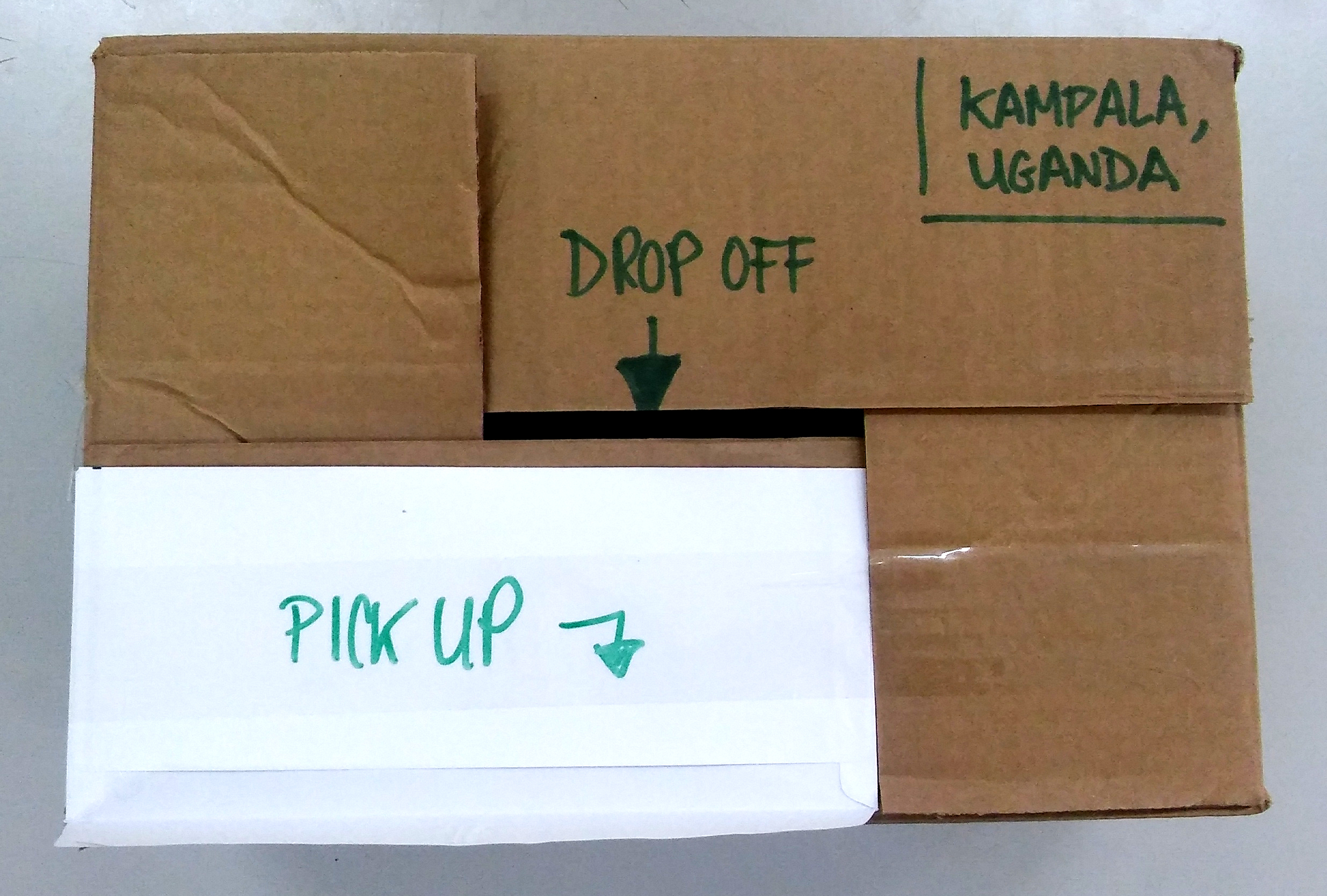
- Lecture 7: Simulation preparation (pdf)
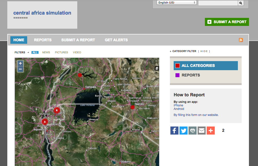
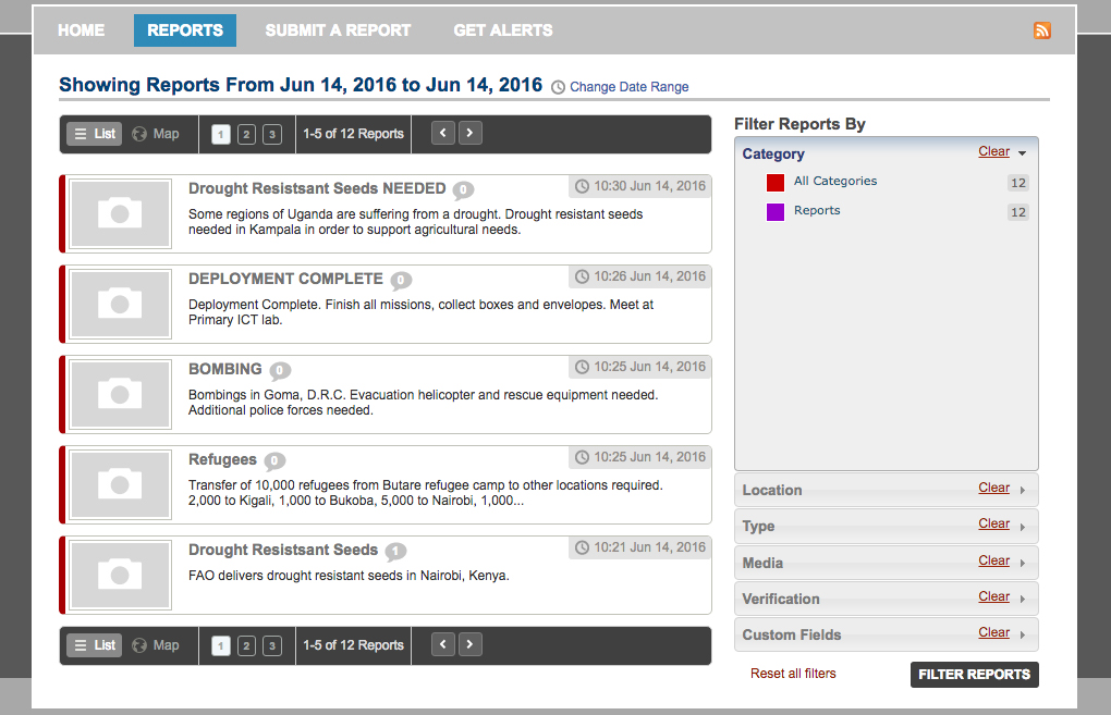
- Simulation
